
Welcome to the first ever Pathfinder ON TOUR!
For this edition, we travelled north to explore the county of Norfolk, where we stayed close to the North Coast for a few nights. Not really knowing the area all that well, we were going in a little blind when choosing a route. However, Beth thankfully found us a hopeful-looking route starting just ten minutes down the road from our accommodation, in the process of which, she downloaded for the first time the free Ordnance Survey Maps app (more to follow…).
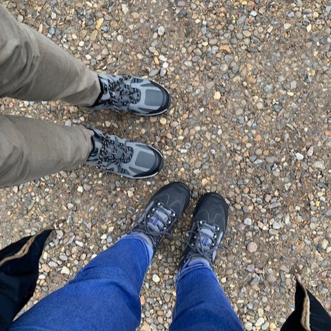
The day was also significant for another reason – new boots day! Yes, we had finally decided to replace our trusty boots which had faithfully carried us over hundreds of miles. Both pairs had done extremely well and only just started to look a little tired, however we wanted to avoid them falling apart halfway through an eight-mile walk. So after almost literally walking through the bottom of them, we went shopping. Beth decided on a pair of Mountain Warehouse Extreme boots for £69.99, whereas I bought myself a replacement pair of the ones I already had; Peter Storm Buxton walking shoes from Blacks for just £30. These were comfy, lightweight and great value the first time around, and this second pair immediately fit as if I were Cinderella.
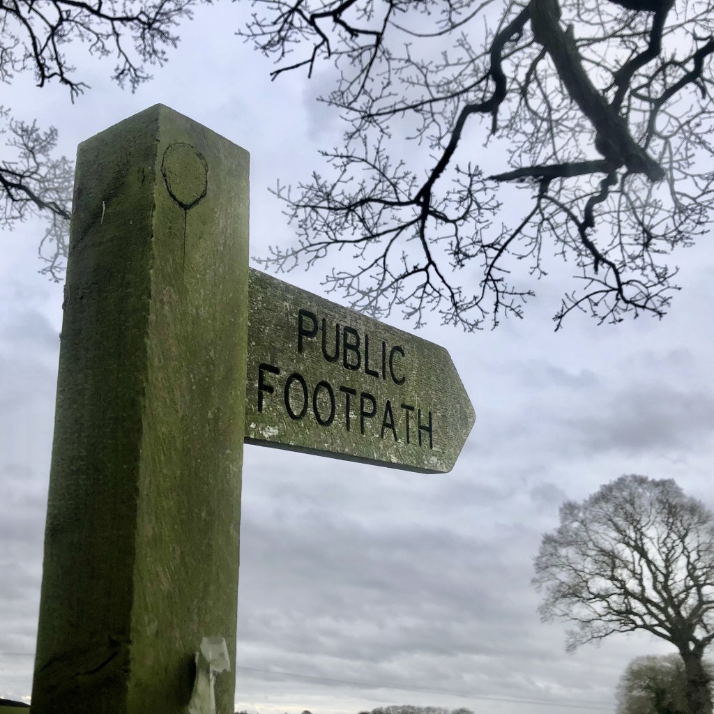
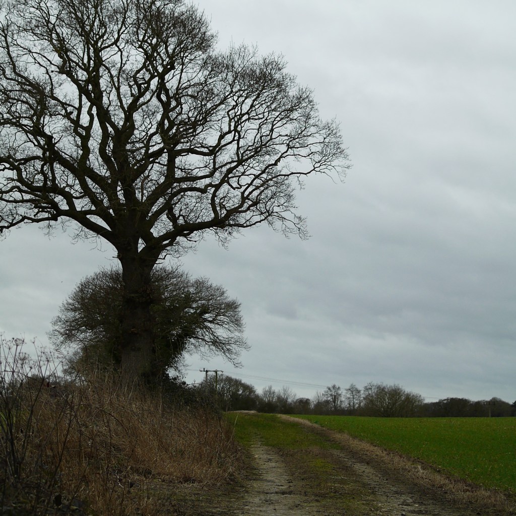
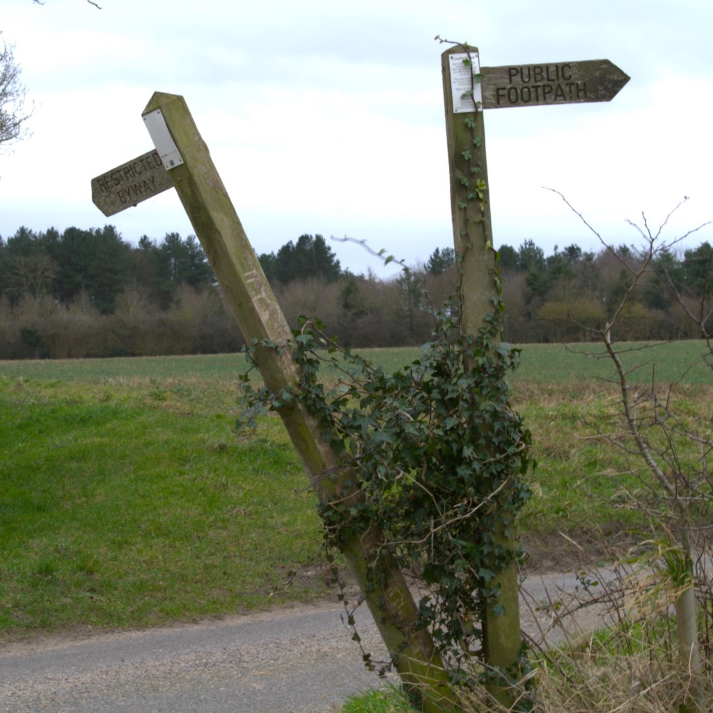
We set off from our starting point of Holt Country Park at about 10am, with no food or snacks, confident that one of the villages we would pass through would have a shop (amateurs). We had originally planned to use a walk description we had found on Google, combined with the support of the OS app (which already had the route available and mapped, although we would be doing it backward). However, we quickly found ourselves wandering around the car park in search of the blue arrow, which when found seemed to be pointing completely the wrong way. We decided then to focus on the app as we navigated the car park and initial patch of woodland. As the GPS tracking guided us accurately in the right direction, we quickly realised that this was the best tool for the job, and the written instructions were soon forgotten.
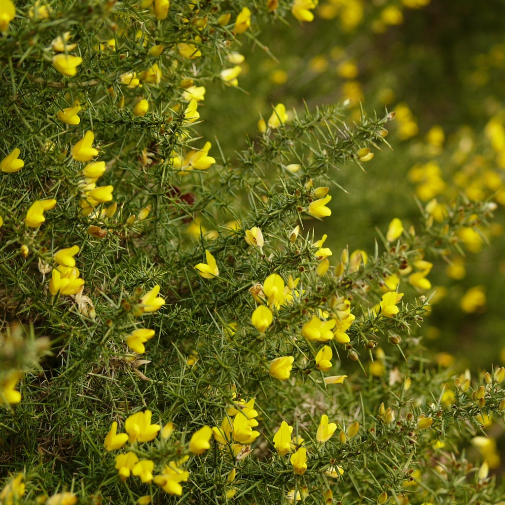
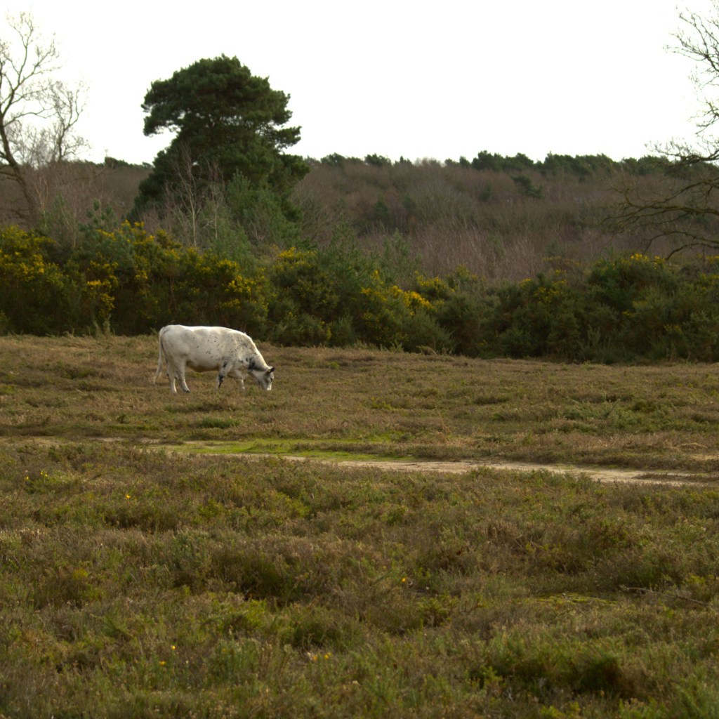
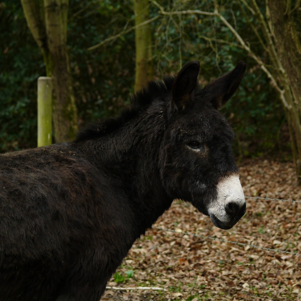
Once comfortably on the track and underway, we found ourselves initially in terrain reminiscent of the Ashdown Forest, as the path led us through yellow-flowered open gorse land full of grazing livestock. This was followed by another small patch of woodland, before we reached our first section of road walking. We were passed by only a handful of cars, and fortunately it wasn’t long before we took a footpath which led us back out over the fields on our right. As the path meandered through the baron fields of late winter, we were crossing a small field when across the approaching stile, I spotted something terribly exciting.
A donkey.
I love donkeys. After an initially cautious approach, we were soon able to give the super-chilled-out animal head scratches and a cuddle – he was such a good donkey. He was also accompanied by two other donkeys and a small pony, all of whom we introduced ourselves to, before carrying on along our way, riding high off this encounter!
Less than a mile further along, we found ourselves arriving in our first village, Hempstead, which contains one of Norfolk’s 600+ churches (seriously, they have so many), only this one has a (partially) thatched roof, which makes it interesting, apparently. No sooner had I begun to wonder if we might find a shop (or even, dare I dream, a pub) in Hempstead, than I realised we were already walking out the other side. Oh, right, okay…. cool.
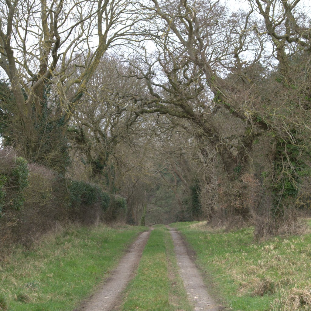
From here, the majority of the remaining walk was a combination of quiet roads and footpaths crossing farmer’s fields, stretching about as far as the eye could see. My oh my, Norfolk is flat. Of course, we all know this, but seriously… barely an incline. This flatness brings with it another challenge; the wind. Indeed, the forecast predicted particularly high winds for the day, and as we got stuck in to the middle portion of the walk, we really began to feel its effects.
But this was all part of the fun, and the miles went comfortably by beneath our new boots. Soon enough we were well over halfway, making great progress and plodding into our second (and final) village, which predictably contained not a single shop, so on we went. This route was longer than any we had done recently, and considering this we were doing really very well. However after six miles with no lunch or snacks, only pausing long enough for a few sips of water, we began to feel it a little.
The wind picked up as we covered the last few miles, during which time we spotted three muntjac deer minding their own business, only a hundred-ish yards away (not an animal we had encountered before!). The map eventually led us back into the woods in which we had started, during which time we went ever-so-slightly off-track, but thankfully the OS app was there to step in and provide guidance. Then suddenly the car was before us, and we were back.
We jumped in and drove a few minutes down the road to nearby Holt, where we went for lunch in the Owl Tea Room’s – the oldest Team Room in Norfolk – where Beth had a particularly good Broccoli and Binham blue cheese soup (it was so good, she insisted it got a shoutout!).
This route was likely a fairly good bite-size representation of walking in Norfolk; flat, and lots of arable fields! The only thing it lacked was a coastal aspect, but we more than made up for this the following day. Perhaps it was due to the good conditions, and more than likely the lack of any incline, but it really did not feel like eight and a half miles, particularly considering we didn’t stop for any additional sustenance along the way. In the end, we finished the whole thing in about three hours, which is a much stronger pace than we had been setting on recent walks back home.
However, overall, our biggest takeaway from the route, and the absolute hero of the day, was the OS app. Aside from providing information about time taken and miles walked, the real testimony to the app comes from the fact that once we started using it, we didn’t get lost once. Crucially, this translates to a huge benefit for Beth, who as regular readers will know, sometimes grows concerned that we are going to get lost forever and/or be shot by a farmer for inadvertently wandering where we shouldn’t. Having this app provided extra security to make sure we were exactly where we were supposed to be, and that we were pointing in the right direction, hugely helping Beth enjoy her day – a big win. The app itself is free to download, only costing us 20% battery across the whole walk…fantastic value, and a price that is certainly worth paying.
Original route from Country Walking magazine, with full map available for free on the OS Maps app!

The OS app is also really worth the Subscription.
LikeLike