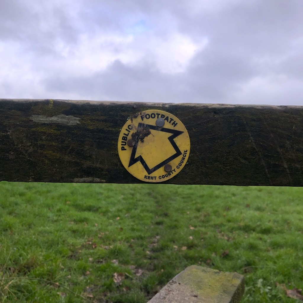


For our final winter walk of the year, we went for one we already have a certain amount of history with, a five-and-a-half-mile circular from Sissinghurst Castle. On paper, the route is relatively short and sweet, which indeed it is, however for some reason, we have never found it simple. This is specifically due mainly to a particularly (relatively small) portion of the walk, in which, of the two previous attempts, we have managed to get lost twice.
Will we go three for three, or will it be third time lucky?
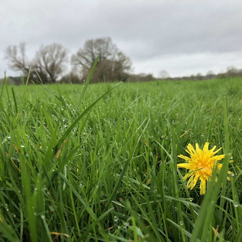
The day was overcast and a little cool, standard stuff, however the previous fortnight had seen near-consistent rainfall. We went in with our eyes wide open and knew that this might present us with some challenges along the way. However, I’m not sure either of us were expecting for them to occur immediately, as we navigated the waterlogged path around the car park, and the very VERY muddy footpath through the Sissinghurst grounds. This first part is usually perfectly simple, however as we did our best to skirt around the edges of the thickest mud, clinging to the trees, we passed several walkers coming the other way, assuring us that it did not get better. They were of course correct, but we got past it soon enough.
A hundred yards along the road and the next footpath appears on the left, heading out over the fields beyond. A little muddy, yes, and also very waterlogged, which would prove to be the day’s real obstacle – a change from our previous rounds, both of which were on hot, sunny days. Through the fields we waded, seeking out the driest, solid ground, until we came out at the small village of Frittenden. On the way out of Frittenden, we encountered our first previously tricky spot, where we had got lost on last year’s walk, after missing the path deviating to the left. We must have not been paying attention last time, and being extra vigilant this time meant no such mistake was made – excellent.
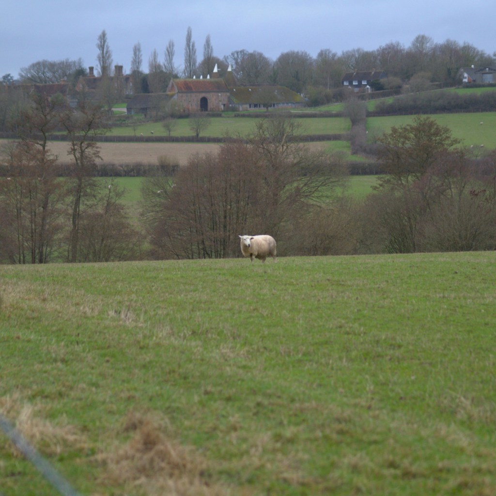
Continuing back across more soggy fields which normally contain cows (I can only assume they are still in bed for the winter), we made it over most of the stiles, until we reached the last one, which was so flooded that we climbed over the gates at the slightly less flooded other end instead. A few yards down the road a footpath appears on the left into another field. Through this one and into the next (which we once skipped through) and over another stile.
And so, we found ourselves in the dreaded field in which we had twice been lost; our nemesis.
On our first attempt, we managed to miss the path going diagonally across the middle (I’m blaming the fact that it had recently been ploughed at the time) and ended up crossing a patch of the farm in which we had no business being, only finding our way back on route by chance when we accidentally sat on it for lunch a little further on. Anyway, we had nailed this bit on the second attempt, so no problem. However, the next tricky area was almost immediately upon us. Last time, we ended up wandering about for five minutes trying to identify the right direction, concluding that either the instructions or the map were wrong, somehow. It is worth noting that on our second attempt, we were severely hungover, it was a very hot day and we only had one small bottle of water between us – I’m not making excuses, but those are the facts. However, this time, we spotted a little way marker and footpath hidden in a corner of the field that we had managed to completely miss last time, and suddenly the light bulb went on. The instructions and the map immediately made sense, as we trod, for the first time, this very small, but very important, part of the walk. The missing puzzle piece had been found, and for the first time, we managed to complete the route successfully!
We soon found ourselves crossing a wooden bridge past the old lunch spot (beware of hornets) and crossing a field containing a flock of irritable geese (Canadian geese, according to the resident bird nerd). After this we arrived at a road, finally leaving behind the watery farmer’s fields for the day. We then followed a quiet country road back to the Sissinghurst grounds, during which time we passed a cottage with homemade honey outside. Naturally, we purchased ourselves some spontaneous honey and continued on our way.
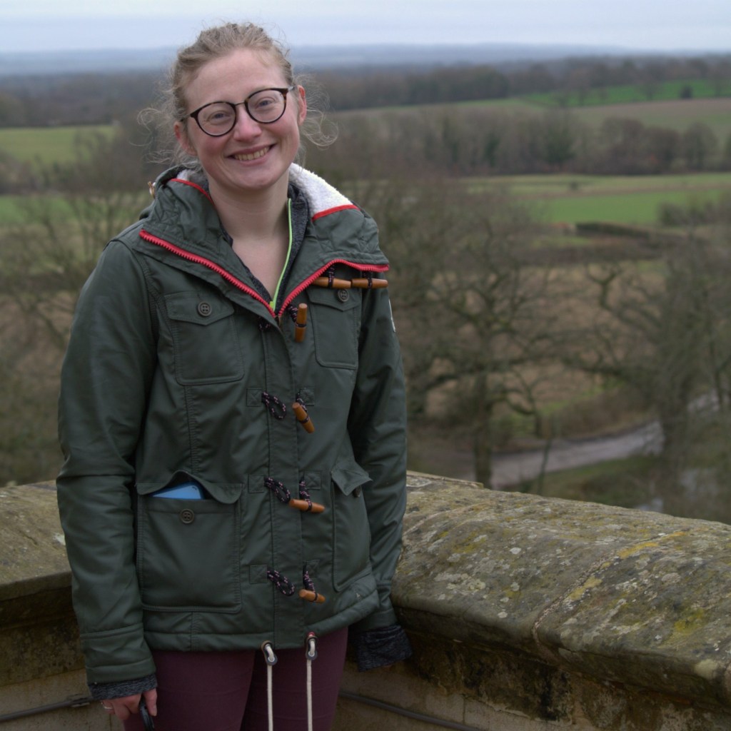
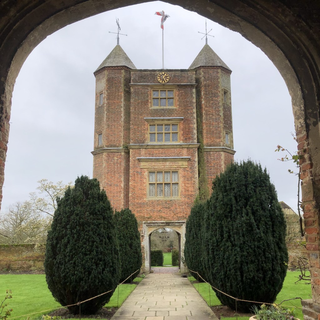
We arrived back on the uncharacteristically muddy National Trust footpaths, which thankfully firmed up as we passed a few fields of sheep, before arriving back at the castle (which isn’t actually a castle). We wandered around the gardens to see what flowers were feeling brave enough to say hello and climbed to the top of the tower, before finally returning to the car.
If I had to sum up the day’s activity, I would have to say, raging success. Not only did we manage a walk which had previously proved tricky for us, but we didn’t have to consult the map or instructions once, relying entirely on our memory (a first!) – a real turnaround. We had also avoided getting rained on, which was fortunate given the previous two weeks.
Aside from the bits where we had gotten lost before, which was probably just down to us being a bit thick, this is actually a really easy day’s walk. In fact, Beth loves it, noting how flat it is! The whole thing (excluding visiting the gardens) took a little over two hours, a much quicker pace than we had previously been achieving. Given that the conditions underfoot were, shall we say, highly seasonal, the route should prove doable all year round.
It is also worth noting that both of our boots faired very well. You would expect this from Beth’s £70 waterproof boots, but I would like to give a special shout-out to my thirty quid ones, which weren’t even advertised as waterproof. Yes, my socks got ever so slightly damp, but barely – a great buy!
Original route was provided by Kent Ramblers, with full instructions available at http://www.kentramblers.org.uk/KentWalks/public/walk_085.htm
